

Quick answer
A Huatulco snorkeling map shows nine protected bays spanning 36 kilometers of coastline, with the clearest access points at La Entrega, Santa Cruz, Maguey, and Cacaluta. The national park charges a 125 MXN conservation fee per person daily, and snorkeling is permitted from 07:00 to 19:00 across all bays. Calmer seas between 07:00 and 11:00 provide optimal water clarity for observing coral formations and tropical fish.
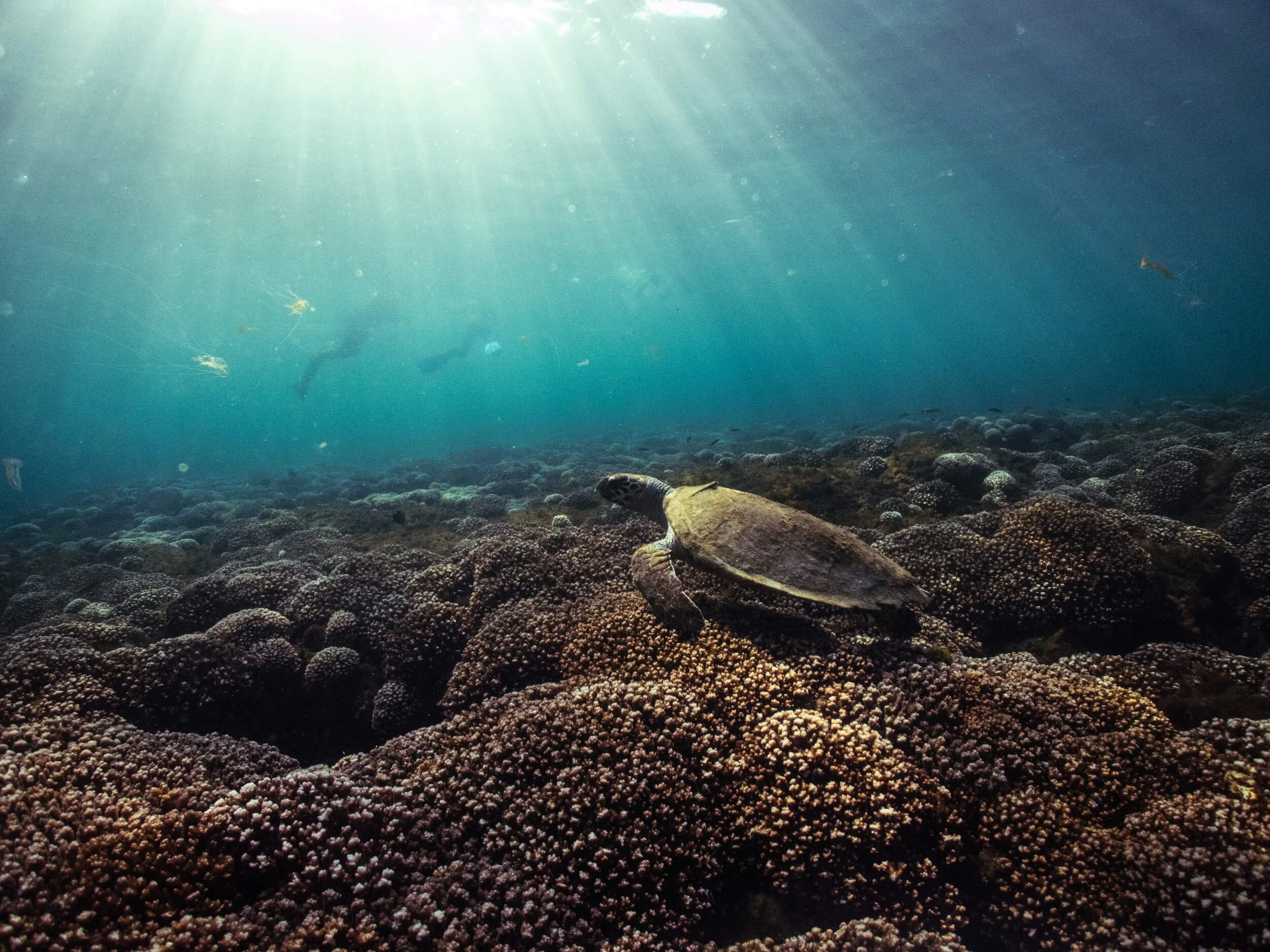
The underwater geography of Huatulco's bays was shaped by volcanic activity and millennia of Pacific currents carving channels through basalt rock. Each bay functions as a distinct ecosystem—La Entrega's shallow reef sits three to five meters below the surface, while Cacaluta's drop-offs plunge to fifteen meters along its western edge. Parque Nacional Huatulco enforces strict zoning to protect coral regeneration areas and nesting grounds for hawksbill and olive ridley sea turtles. Rangers mark no-entry zones with yellow buoys during breeding seasons, and fines for anchor damage or coral contact start at 2,500 MXN. The conservation fee funds reef restoration projects and daily water-quality monitoring at seven measurement stations. Snorkelers mapping their route should account for seasonal swell patterns—November through March brings stronger currents to west-facing bays like Cacaluta and Chachacual, while the easternmost bays remain calmer year-round. La Entrega's protected cove offers the most consistent conditions, with a sandy entry point and reef structure extending 200 meters offshore. Maguey Bay provides intermediate terrain with scattered coral heads and frequent sightings of angelfish and parrotfish. Visibility typically ranges from eight to twenty meters depending on recent rainfall and wind. A Huatulco snorkeling map guide should distinguish between bays accessible by paved road—Santa Cruz, La Entrega, Chahué, and Tangolunda—and those requiring boat transport or unpaved access. Water taxis from Santa Cruz pier service Maguey, Órgano, and Cacaluta, with departure frequency tied to passenger volume rather than fixed schedules. The remoter bays of San Agustín and Chachacual see fewer visitors and maintain higher coral cover but require advance arrangement with licensed boat operators. Current charts and bay-specific hazard briefings are posted at CONANP ranger stations in Santa Cruz and Tangolunda. Morning arrivals avoid afternoon wind chop that reduces visibility and makes surface swimming more strenuous.
“Each bay functions as a distinct ecosystem—La Entrega's shallow reef sits three to five meters below the surface, while Cacaluta's drop-offs plunge to fifteen meters along its western edge.”
Optimal Arrival for Your Huatulco Snorkeling Map Visit
The best arrival window is 07:00–11:00, as calmer seas and less wind provide better water clarity for snorkeling. Planning your visit during this morning timeframe minimizes the impact of afternoon wind patterns that often reduce visibility across the Huatulco bays.
Dry Season (Dec–Apr)
Moderate crowdsDry, 28°C–32°C. Low precipitation and consistent visibility.
Rainy Season (Jun–Oct)
Low crowdsHumid, 30°C–33°C. Occasional afternoon storms, calm mornings.
Weekday Mornings
Minimal crowds—
Ideal for quiet observation of marine life in protected coves.
Weekend Mornings
Higher local crowds—
Arriving early remains necessary to avoid peak ferry traffic.
Verdict: The optimal snorkeling experience occurs from Tuesday to Thursday, arriving between 07:00 and 11:00 during the months of April or November.
Key Bays for Your Huatulco Snorkeling Map
The Huatulco National Park encompasses several protected bays that offer diverse marine habitats for snorkeling. These locations are accessible primarily by boat and feature varying reef structures and aquatic life.
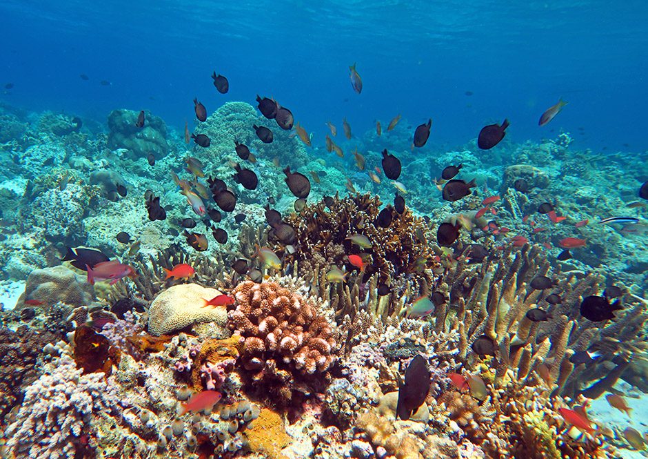
Bahía San Agustín
Known for its extensive coral reefs, this bay offers clear waters and a high concentration of tropical fish. It is one of the most popular destinations for underwater exploration in the region.
Visit the outer reef area to see larger marine life species.
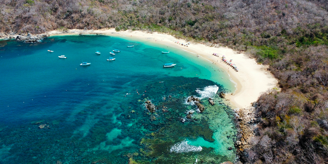
Bahía Chachacual
This pristine, uninhabited bay is located within a protected area and is accessible only by sea. The calm, sheltered waters make it ideal for observing sea fans and sponges.
Swim toward the rocky outcrops near the shore for better visibility.
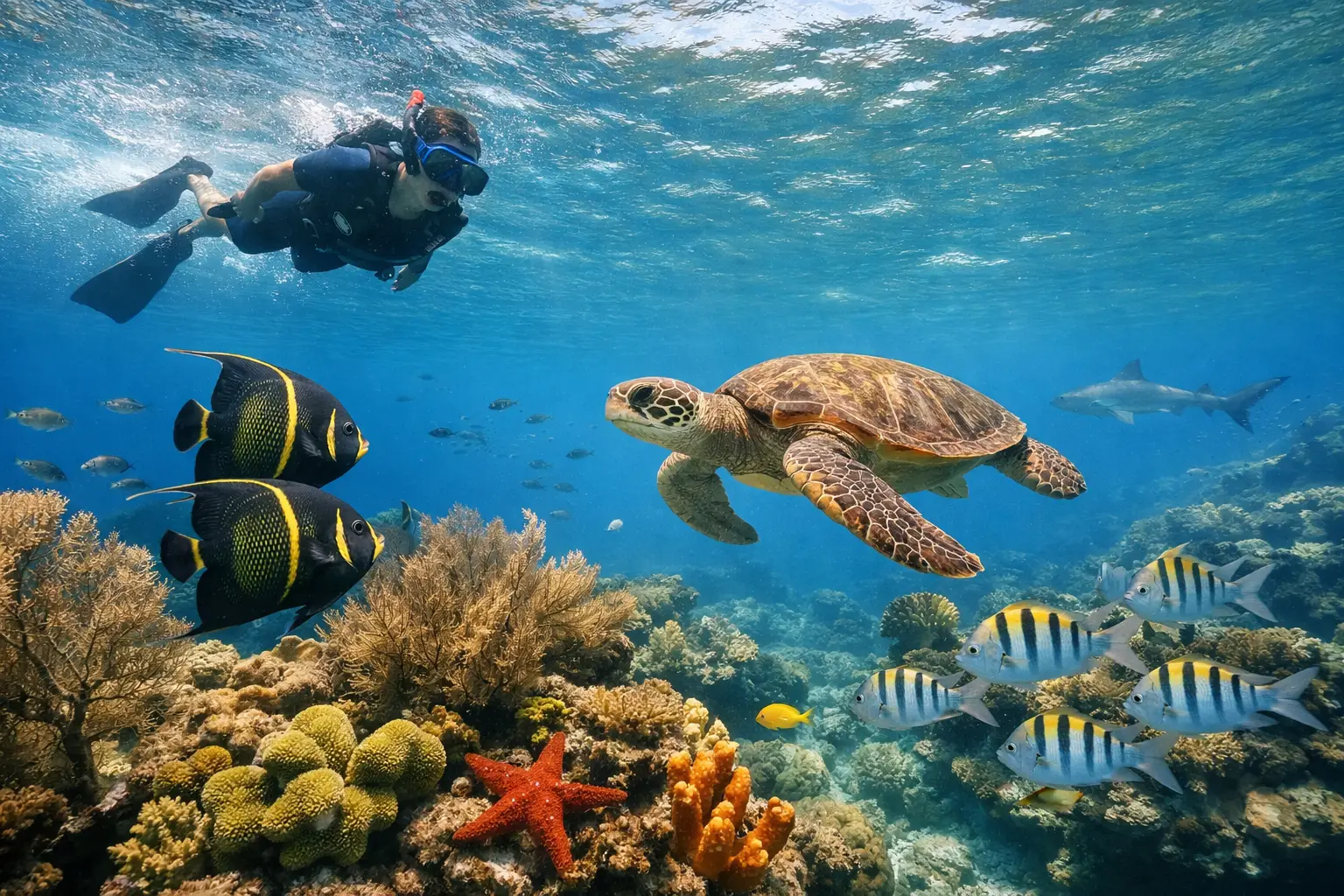
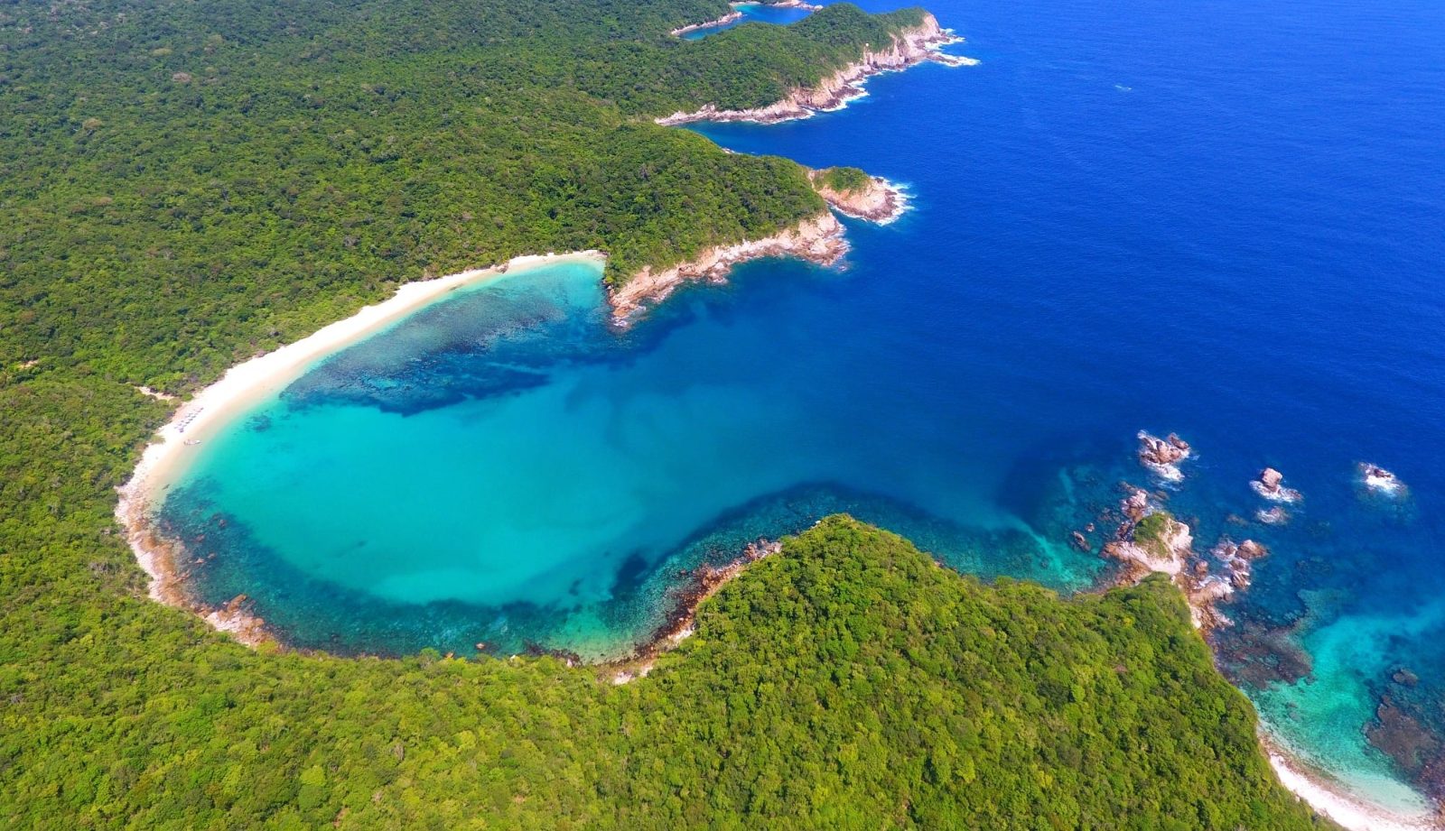
Bahía Cacaluta
Featuring a distinct heart shape, this bay is home to a diverse array of marine species including sea turtles and rays. The currents here can be stronger, requiring awareness of water conditions.
Stay close to the protected shoreline to observe smaller reef fish.
Bahía Riscalillo
This small, tranquil bay provides shallow, sandy-bottom areas that are suitable for beginners. The gentle environment allows for easy observation of local fish populations without significant current.
Look for schools of sergeant major fish near the rocky edges.
Preparation Checklist for Your Huatulco Snorkeling Map Trip
Pack the right gear and plan ahead to make the most of your day exploring Huatulco's protected bays.
-
Bring biodegradable reef-safe sunscreen — Chemical sunscreens damage coral; only reef-safe formulas are permitted in the national park.
-
Pack your own snorkel gear — Rentals are available but bringing your own mask and fins ensures proper fit and comfort.
-
Wear a rash guard or wetsuit — Protects against sun exposure and jellyfish while reducing sunscreen needs.
-
Carry cash for the conservation fee — The 125 MXN entrance fee is collected at park entry points and may not accept cards.
-
Pack water and snacks in reusable containers — Limited vendors operate inside the park; single-use plastics are discouraged.
-
Download offline maps of the bays — Cell service is spotty; having bay locations saved helps you navigate between snorkeling sites.
-
Arrive during the 07:00–11:00 window — Calmer morning seas provide the clearest water and best visibility for snorkeling.